|
|
|
|
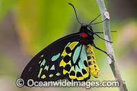
Cairns Birdwing Butterfly (Ornithoptera priamus), male. Also known as Common Green Birdwing, Cape York Birdwing, Priam's Birdwing and Northern Birdwing. Found in central and south Moluccas, New Guinea, Solomon Islands, and northeast Australia.
© Gary Bell / OceanwideImages.com |
|
|
|
|
|
|
|
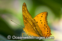
Cruiser (Vindula arsinoe), male. Found from the Maluku Islands and New Guinea to the Solomon Islands and Queensland, Australia.
© Gary Bell / OceanwideImages.com |
|
|
|
|
|
|
|
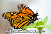
Wanderer Butterfly (Danaus plexippus), feeding on flower nectar. Also known as Monarch Butterfly. Found throughout Eastern Australia and several countries throughout the world.
© Gary Bell / OceanwideImages.com |
|
|
|
|
|
|
|
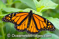
Wanderer Butterfly (Danaus plexippus). Also known as Monarch Butterfly. Found throughout Eastern Australia and several countries throughout the world.
© Gary Bell / OceanwideImages.com |
|
|
|
|
|
|
|
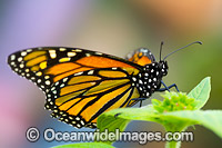
Wanderer Butterfly (Danaus plexippus), feeding on flower nectar. Also known as Monarch Butterfly. Found throughout Eastern Australia and several countries throughout the world.
© Gary Bell / OceanwideImages.com |
|
|
|

|
|
|
|
Large Grass-yellow Butterfly (Eurema hecabe), feeding on flower nectar. Also known as Common Grass-yellow Butterfly. Found in the northern parts of Australia, also Asia and Africa.
© Gary Bell / OceanwideImages.com |
|
|
|
|
|
|
|
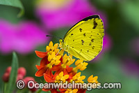
Large Grass-yellow Butterfly (Eurema hecabe), feeding on flower nectar. Also known as Common Grass-yellow Butterfly. Found in the northern parts of Australia, also Asia and Africa.
© Gary Bell / OceanwideImages.com |
|
|
|
|
|
|
|
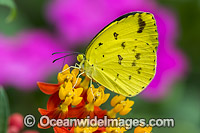
Large Grass-yellow Butterfly (Eurema hecabe), feeding on flower nectar. Also known as Common Grass-yellow Butterfly. Found in the northern parts of Australia, also Asia and Africa.
© Gary Bell / OceanwideImages.com |
|
|
|
|
|
|
|
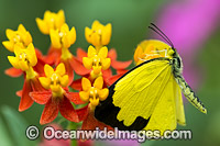
Large Grass-yellow Butterfly (Eurema hecabe), feeding on flower nectar. Also known as Common Grass-yellow Butterfly. Found in the northern parts of Australia, also Asia and Africa.
© Gary Bell / OceanwideImages.com |
|
|
|
|
|
|
|
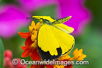
Large Grass-yellow Butterfly (Eurema hecabe), feeding on flower nectar. Also known as Common Grass-yellow Butterfly. Found in the northern parts of Australia, also Asia and Africa.
© Gary Bell / OceanwideImages.com |
|
|
|

|
|
|
|
Orchard Swallowtail Butterfly (Papilio aegeus). Also known as Large Citrus Butterfly and Orchard Butterfly. Eastern Australia.
© Gary Bell / OceanwideImages.com |
|
|
|
|
|
|
|
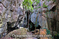
Capricorn Caves, showing the entrance to a large limestone cavern. Situated near Rockhampton, Queensland, Australia
© Gary Bell / OceanwideImages.com |
|
|
|
|
|
|
|
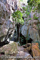
Capricorn Caves, showing the entrance to a large limestone cavern. Situated near Rockhampton, Queensland, Australia
© Gary Bell / OceanwideImages.com |
|
|
|
|
|
|
|
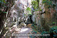
Capricorn Caves, showing the entrance to a large limestone cavern. Situated near Rockhampton, Queensland, Australia
© Gary Bell / OceanwideImages.com |
|
|
|
|
|
|
|
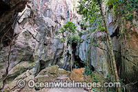
Capricorn Caves, showing the entrance to a large limestone cavern. Situated near Rockhampton, Queensland, Australia
© Gary Bell / OceanwideImages.com |
|
|
|
|
|
|
|
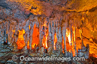
Capricorn Caves, showing limestone stalagtites and stalagmites, known as "The Harp". Situated near Rockhampton, Queensland, Australia
© Gary Bell / OceanwideImages.com |
|
|
|
|
|
|
|
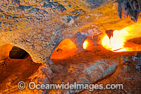
Capricorn Caves, showing an eroded limestone cavern. Situated near Rockhampton, Queensland, Australia
© Gary Bell / OceanwideImages.com |
|
|
|
|
|
|
|
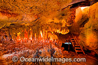
Capricorn Caves, showing a limestone cavern with stalagtites and stalagmites, known as "The Harp". Situated near Rockhampton, Queensland, Australia
© Gary Bell / OceanwideImages.com |
|
|
|
|
|
|
|
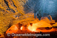
Capricorn Caves, showing an eroded limestone cavern. Situated near Rockhampton, Queensland, Australia
© Gary Bell / OceanwideImages.com |
|
|
|
|
|
|
|
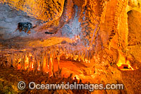
Capricorn Caves, showing a limestone cavern with stalagtites and stalagmites, known as "The Harp". Situated near Rockhampton, Queensland, Australia
© Gary Bell / OceanwideImages.com |
|
|
|
|
|
|
|
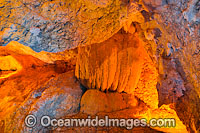
Capricorn Caves, showing a section of an eroded limestone cavern. Situated near Rockhampton, Queensland, Australia
© Gary Bell / OceanwideImages.com |
|
|
|
|
|
|
|
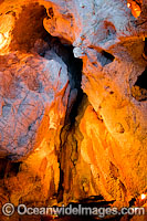
Capricorn Caves, showing a section of an eroded limestone cavern. Situated near Rockhampton, Queensland, Australia
© Gary Bell / OceanwideImages.com |
|
|
|
|
|
|
|
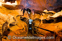
Capricorn Caves, showing a section of an eroded limestone cavern. Situated near Rockhampton, Queensland, Australia
© Gary Bell / OceanwideImages.com |
|
|
|
|
|
|
|
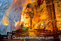
Capricorn Caves, showing a large limestone cavern known as Cathedral Cave, a popular venue for weddings and underground opera. Situated near Rockhampton, Queensland, Australia
© Gary Bell / OceanwideImages.com |
|
|
|
|
|
|
|
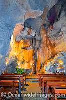
Capricorn Caves, showing a large limestone cavern known as Cathedral Cave, a popular venue for weddings and underground opera. Situated near Rockhampton, Queensland, Australia
© Gary Bell / OceanwideImages.com |
|
|
|
|
|
|
|
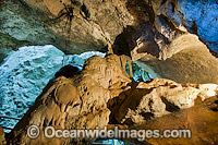
Capricorn Caves, showing a section of an eroded limestone cavern. Situated near Rockhampton, Queensland, Australia
© Gary Bell / OceanwideImages.com |
|
|
|
|
|
|
|
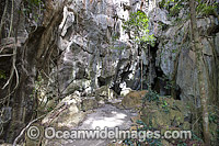
Capricorn Caves, showing the entrance to a large limestone cavern. Situated near Rockhampton, Queensland, Australia
© Gary Bell / OceanwideImages.com |
|
|
|
|
|
|
|
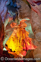
Capricorn Caves, showing an eroded limestone cavern. Situated near Rockhampton, Queensland, Australia
© Gary Bell / OceanwideImages.com |
|
|
|
|
|
|
|
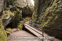
Capricorn Caves, showing the entrance to a large limestone cavern. Situated near Rockhampton, Queensland, Australia
© Gary Bell / OceanwideImages.com |
|
|
|
|
|
|
|
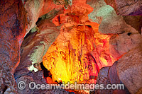
Capricorn Caves, showing an eroded limestone cavern. Situated near Rockhampton, Queensland, Australia
© Gary Bell / OceanwideImages.com |
|
|
|
|
|
|
|
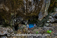
The Grotto. A limestone cave near the coast on Christmas Island, which opens out into the sea. Christmas Island, Indian Ocean, Australia.
© Gary Bell / OceanwideImages.com |
|
|
|
|
|
|
|
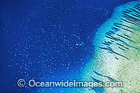
Aerial view of unusual aggregation of thousands of Green Sea Turtles (Chelonia mydas) during annual breeding season. Raine Island, Great Barrier Reef, Queensland, Australia. Found in tropical and warm temperate seas. Endangered species on IUCN Red list.
© Gary Bell / OceanwideImages.com |
|
|
|
|
|
|
|
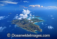
Aerial view of Lizard Island and fringing reef. Far Northern Great Barrier Reef, Queensland, Australia
© Gary Bell / OceanwideImages.com |
|
|
|
|
|
|
|
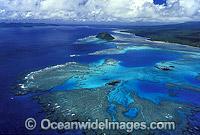
Aerial view of fringing Coral reef. Taveuni Island, Fiji
© Gary Bell / OceanwideImages.com |
|
|
|
|
|
|
|
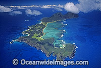
Aerial view of Lord Howe Island showing Coral lagoon. Worlds most southern Coral reef. South Pacific Ocean, Australia
© Gary Bell / OceanwideImages.com |
|
|
|
|
|
|
|
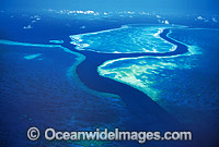
Aerial view of channel between Hook and Hardy Reef. Central Great Barrier Reef, Queensland, Australia
© Gary Bell / OceanwideImages.com |
|
|
|
|
|
|
|
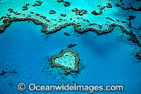
Aerial view of Heart Reef. Central Great Barrier Reef, Queensland, Australia
© Gary Bell / OceanwideImages.com |
|
|
|
|
|
|
|
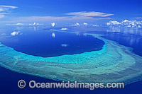
Aerial view of Yule Detached Reef. Far Northern Great Barrier Reef, Queensland, Australia
© Gary Bell / OceanwideImages.com |
|
|
|
|
|
|
|
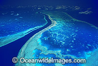
Aerial view of channel between Hook and Hardy Reef. Great Barrier Reef, Queensland, Australia
© Gary Bell / OceanwideImages.com |
|
|
|
|
|
|
|
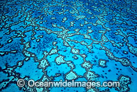
Aerial view showing lagoon detail. Wistari Reef, Southern Great Barrier Reef, Queensland, Australia
© Gary Bell / OceanwideImages.com |
|
|
|
|
|
|
|
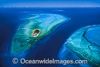
Aerial view of Heron Island and surrounding coral reef, and Wistari Reef. Southern Great Barrier Reef, Queensland, Australia
© Gary Bell / OceanwideImages.com |
|
|
|
|
|
|
|
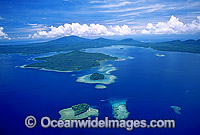
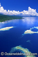
Aerial view of coastal islands and fringing Coral reefs. New Britain Island south coast, Papua New Guinea
© Gary Bell / OceanwideImages.com |
|
|
|
|
|
|
|
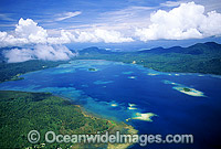
Aerial view of fringing coastal reefs. Kimbe Bay, New Britain Island, Papua New Guinea
© Gary Bell / OceanwideImages.com |
|
|
|
|
|
|
|
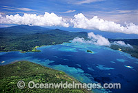
Aerial view of fringing coastal reefs. Kimbe Bay, New Britain Island, Papua New Guinea
© Gary Bell / OceanwideImages.com |
|
|
|
|
|
|
|
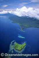
Aerial view of coastal islands and fringing Coral reefs. New Britain Island south coast, Papua New Guinea
© Gary Bell / OceanwideImages.com |
|
|
|
|
|
|
|
Aerial view of coastal islands and fringing Coral reefs. New Britain Island south coast, Papua New Guinea
© Gary Bell / OceanwideImages.com |
|
|
|

|
|
|
|
Aerial view of fringing coastal reefs. Kimbe Bay, New Britain Island, Papua New Guinea
© Gary Bell / OceanwideImages.com |
|
|
|
|
|
|
|
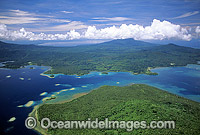
Aerial view of coastal islands and fringing Coral reefs. New Britain Island south coast, Papua New Guinea
© Gary Bell / OceanwideImages.com |
|
|
|
