|
|
|
|
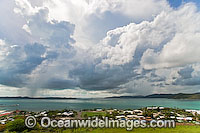
Aerial view overlooking Thursday Island settlement and Torres Strait during monsoon season. Torres Strait, Queensland, Australia
© Gary Bell / OceanwideImages.com |
|
|
|
|
|
|
|
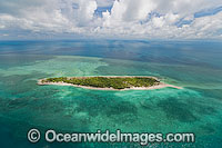
Aerial view of un-inhabited Poll Islet (also known as Guiah and Guijar), a true vegitated coral cay with surrounding coral reef. Torres Strait, Queensland, Australia
© Gary Bell / OceanwideImages.com |
|
|
|
|
|
|
|
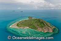
Aerial view of un-inhabited Mount Ernest Island (also known as Naghir and Naga, Nagir Island), with Burke Island and Pole Island in distant background. Torres Strait, Queensland, Australia
© Gary Bell / OceanwideImages.com |
|
|
|
|
|
|
|
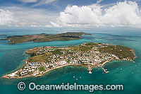
Aerial view of populated Thursday Island, showing Hammond Island in distant background. Torres Strait, Queensland, Australia
© Gary Bell / OceanwideImages.com |
|
|
|
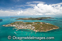
|
|
|
|
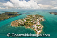
Aerial view of populated Thursday Island, showing Hammond Island in distant background. Torres Strait, Queensland, Australia
© Gary Bell / OceanwideImages.com |
|
|
|
|
|
|
|
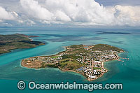
Aerial view of populated Thursday Island. Torres Strait, Queensland, Australia
© Gary Bell / OceanwideImages.com |
|
|
|
|
|
|
|
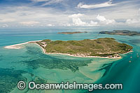
Aerial view of populated Thursday Island. Torres Strait, Queensland, Australia
© Gary Bell / OceanwideImages.com |
|
|
|

|
|
|
|
Aerial view of Torres Strait Islands, including Hammond Island (foreground), populated Thursday Island (centre left), Prince of Wales Island and Friday Island (distant background). Torres Strait, Queensland, Australia
© Gary Bell / OceanwideImages.com |
|
|
|
|
|
|
|
Aerial view of Friday Island showing Kazu Pearl Farm, surrounding sea grass beds and shallow sand flats. Torres Strait, Queensland, Australia
© Gary Bell / OceanwideImages.com |
|
|
|
|
|
|
|
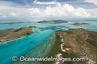
Aerial view of Torres Strait Islands, including populated Thursday Island (top right), Prince of Wales Island (lower foreground) and Friday Island (left) - showing Kazu Pearl Farm. Queensland, Australia
© Gary Bell / OceanwideImages.com |
|
|
|
|
|
|
|
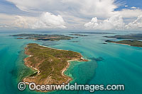
Aerial view of Torres Strait Islands. Torres Strait, Queensland, Australia
© Gary Bell / OceanwideImages.com |
|
|
|
|
|
|
|
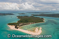
Aerial view of Torres Strait Islands, showing Friday Island (centre) sand-spit and surrounding sea grass beds. Torres Strait, Queensland, Australia
© Gary Bell / OceanwideImages.com |
|
|
|
|
|
|
|
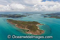
Aerial view of Torres Strait Islands. Torres Strait, Queensland, Australia
© Gary Bell / OceanwideImages.com |
|
|
|
|
|
|
|
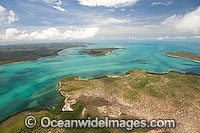
Aerial view of Torres Strait Islands, including Hammond Island in foreground, Prince of Wales Island and Friday Island (distant background). Torres Strait, Queensland, Australia
© Gary Bell / OceanwideImages.com |
|
|
|
|
|
|
|
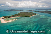
Aerial view of Torres Strait Islands, showing Friday Island (centre) and surrounding sea grass beds. Torres Strait, Queensland, Australia
© Gary Bell / OceanwideImages.com |
|
|
|
|
|
|
|
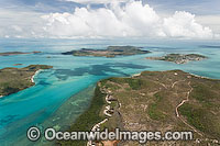
Aerial view of Torres Strait Islands, including populated Thursday Island (top right), Prince of Wales Island (lower foreground) and Friday Island (left). Queensland, Australia
© Gary Bell / OceanwideImages.com |
|
|
|

|
|
|
|
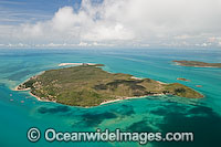
Aerial view of Torres Strait Islands, including Prince of Wales Island (lower foreground) and Friday Island (centre) - showing Kazu Pearl Farm. Queensland, Australia
© Gary Bell / OceanwideImages.com |
|
|
|
|
|
|
|
Aerial view of Friday Island and Kazu Pearl Farm. Torres Strait Islands, Queensland, Australia
© Gary Bell / OceanwideImages.com |
|
|
|
|
|
|
|
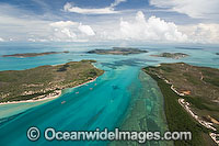
Aerial view of Torres Strait Islands, including populated Thursday Island (top right), Prince of Wales Island (lower foreground) and Friday Island (left) - showing Kazu Pearl Farm. Queensland, Australia
© Gary Bell / OceanwideImages.com |
|
|
|
|
|
|
|
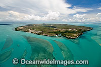
Aerial view of Horn Island, showing settlement and air-strip. Note tidal channels and sea grass beds in foreground. Torres Strait, Queensland, Australia
© Gary Bell / OceanwideImages.com |
|
|
|
|
|
|
|
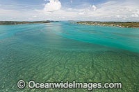
Aerial view of Torres Strait sea grass beds, showing islands of the Torres Strait in distant background. Torres Strait, Queensland, Australia
© Gary Bell / OceanwideImages.com |
|
|
|
|
|
|
|
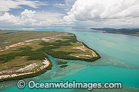
Aerial view of Horn Island mangrove inlet and surrounding seagrass beds. Torres Strait, Queensland, Australia
© Gary Bell / OceanwideImages.com |
|
|
|
|
|
|
|
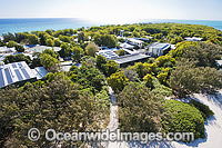
Aerial view of the Heron Island Research Station, which is run and operated by the University of Queensland. Heron Island, Great Barrier Reef, Qld, Australia.
© Gary Bell / OceanwideImages.com |
|
|
|
|
|
|
|
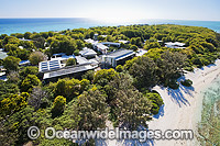
Aerial view of the Heron Island Research Station, which is run and operated by the University of Queensland. Heron Island, Great Barrier Reef, Qld, Australia.
© Gary Bell / OceanwideImages.com |
|
|
|
|
|
|
|
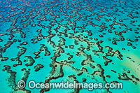
Aerial view showing detail of Wistari Reef Lagoon. Southern Great Barrier Reef, Queensland, Australia.
© Gary Bell / OceanwideImages.com |
|
|
|
|
|
|
|
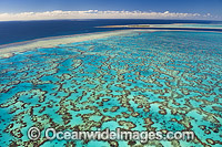
Aerial view of Wistari Reef Lagoon, with Heron Island Reef in the distance. Southern Great Barrier Reef, Queensland, Australia.
© Gary Bell / OceanwideImages.com |
|
|
|
|
|
|
|
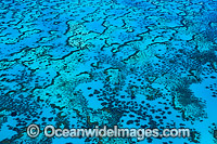
Aerial view showing detail of Wistari Reef Lagoon. Southern Great Barrier Reef, Queensland, Australia.
© Gary Bell / OceanwideImages.com |
|
|
|
|
|
|
|
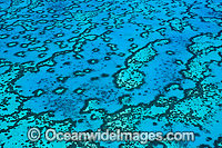
Aerial view showing detail of Wistari Reef Lagoon. Southern Great Barrier Reef, Queensland, Australia.
© Gary Bell / OceanwideImages.com |
|
|
|
|
|
|
|
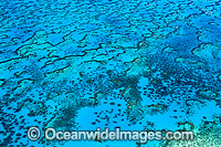
Aerial view showing detail of Wistari Reef Lagoon. Southern Great Barrier Reef, Queensland, Australia.
© Gary Bell / OceanwideImages.com |
|
|
|
|
|
|
|
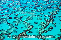
Aerial view showing detail of Wistari Reef Lagoon. Southern Great Barrier Reef, Queensland, Australia.
© Gary Bell / OceanwideImages.com |
|
|
|
|
|
|
|
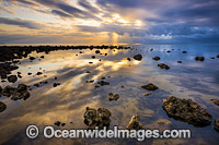
Coastal Sunrise, Redcliffe, Queensland, Australia.
© Gary Bell / OceanwideImages.com |
|
|
|
|
|
|
|
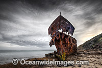
The remains of HMQS Gayundah Shipwreck. The Gayunday was the first warship in Australia to operate wireless telegraphy successfully. In 1958 the Gayundah was beached in its current location to serve as a breakwater. Queensland, Australia.
© Gary Bell / OceanwideImages.com |
|
|
|
|
|
|
|
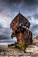
The remains of HMQS Gayundah Shipwreck. The Gayunday was the first warship in Australia to operate wireless telegraphy successfully. In 1958 the Gayundah was beached in its current location to serve as a breakwater. Queensland, Australia.
© Gary Bell / OceanwideImages.com |
|
|
|
|
|
|
|
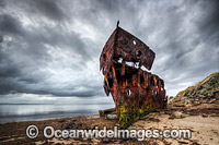
The remains of HMQS Gayundah Shipwreck. The Gayunday was the first warship in Australia to operate wireless telegraphy successfully. In 1958 the Gayundah was beached in its current location to serve as a breakwater. Queensland, Australia.
© Gary Bell / OceanwideImages.com |
|
|
|
|
|
|
|
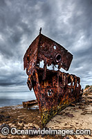
The remains of HMQS Gayundah Shipwreck. The Gayunday was the first warship in Australia to operate wireless telegraphy successfully. In 1958 the Gayundah was beached in its current location to serve as a breakwater. Queensland, Australia.
© Gary Bell / OceanwideImages.com |
|
|
|

|
|
|
|
The remains of HMQS Gayundah Shipwreck. The Gayunday was the first warship in Australia to operate wireless telegraphy successfully. In 1958 the Gayundah was beached in its current location to serve as a breakwater. Queensland, Australia.
© Gary Bell / OceanwideImages.com |
|
|
|

|
|
|
|
The remains of HMQS Gayundah Shipwreck. The Gayunday was the first warship in Australia to operate wireless telegraphy successfully. In 1958 the Gayundah was beached in its current location to serve as a breakwater. Queensland, Australia.
© Gary Bell / OceanwideImages.com |
|
|
|
|
|
|
|
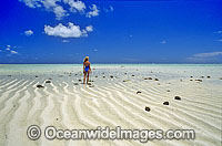
Coastal Seascape with a Girl on a beach sand cay. Heron Island, Great Barrier Reef, Queensland, Australia
© Gary Bell / OceanwideImages.com |
|
|
|
|
|
|
|
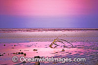
Coastal Seascape of Driftwood on a tropical seashore at dusk. Heron Island, Great Barrier Reef, Queensland, Australia
© Gary Bell / OceanwideImages.com |
|
|
|

|
|
|
|
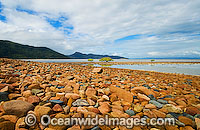
Beach combing during low tide at Hayman Island, Whitsunday Islands, Queensland, Australia
© Gary Bell / OceanwideImages.com |
|
|
|
|
|
|
|
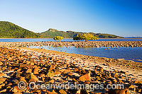
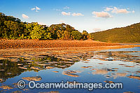
Pair of Mangrove trees at low tide, Hayman Island, Whitsunday Islands, Queensland, Australia
© Gary Bell / OceanwideImages.com |
|
|
|
|
|
|
|
Pair of Mangrove trees at low tide, Hayman Island, Whitsunday Islands, Queensland, Australia
© Gary Bell / OceanwideImages.com |
|
|
|
|
|
|
|
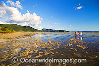
Exposed sand flats at Hayman Island during low tide, showing Hook Island in the background. Whitsunday Islands, Queensland, Australia
© Gary Bell / OceanwideImages.com |
|
|
|
|
|
|
|
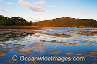
Beach combing on the sand flats during low tide at Hayman Island, Whitsunday Islands, Queensland, Australia
© Gary Bell / OceanwideImages.com |
|
|
|
|
|
|
|
Exposed sand flats at Hayman Island during low tide, showing Hook Island in the background. Whitsunday Islands, Queensland, Australia
© Gary Bell / OceanwideImages.com |
|
|
|
|
|
|
|
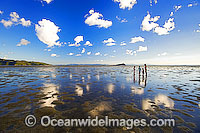
Beach combing sand flats during low tide at Hayman Island, Whitsunday Islands, Queensland, Australia
© Gary Bell / OceanwideImages.com |
|
|
|
|
|
|
|
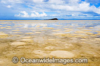
Exposed sand flats at Hayman Island during low tide. Whitsunday Islands, Queensland, Australia
© Gary Bell / OceanwideImages.com |
|
|
|
|
|
|
|
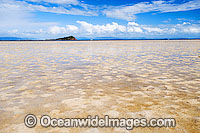
Exposed sand flats at Hayman Island during low tide. Whitsunday Islands, Queensland, Australia
© Gary Bell / OceanwideImages.com |
|
|
|
